Filter by brand

Environmental

MX50 Spherical & Mobile Mapping System
Trimble MX50 is a practical field-to-finish mobile mapping solution for asset management, mapping and road maintenance. The MX50 typically mounts on the roof of a vehicle and captures LiDAR and panoramic imagery at highway speeds. The system employs highly accurate LiDAR technology developed by Trimble. The MX50 utilizes Trimble’s established mobile mapping workflows and software products.
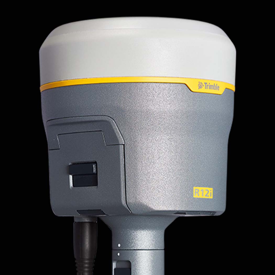
R12i GNSS Receiver
Designed to help surveying professionals work more effectively, the Trimble R12i receiver represents the next generation of GNSS surveying. With powerful technologies that go beyond comprehensive GNSS support, including the industry-leading Trimble ProPoint RTK engine and Trimble TIP tilt compensation, the R12i delivers unmatched GNSS performance, speed and accuracy to boost productivity for land surveyors.
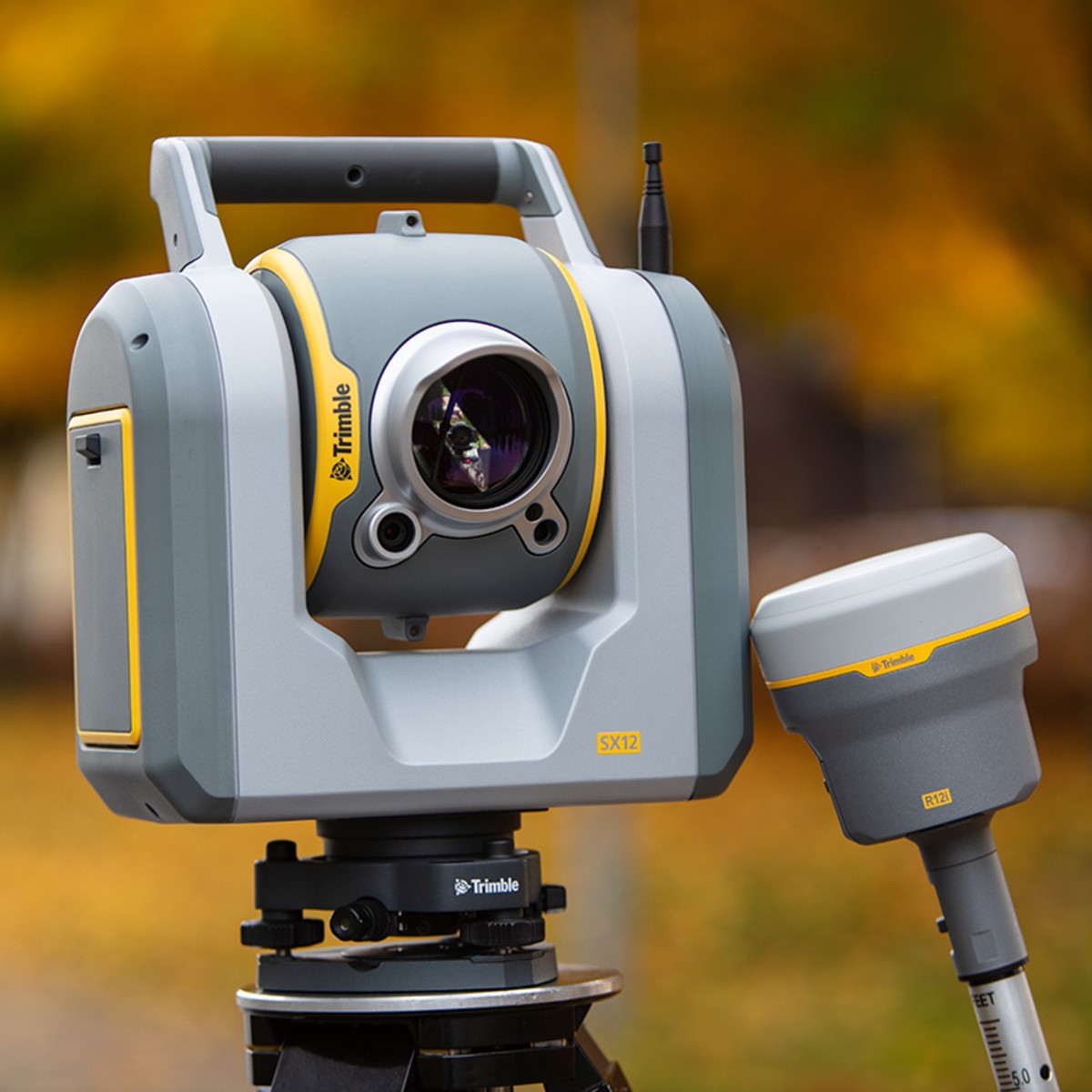
SX12 Scanning Total Station
The Trimble X12 is a high end 3D scanning system with exceptional speed, accuracy, range, and image clarity. Collect superior scan data and imagery faster than ever to meet the most demanding project requirements. The system can use Trimble’s powerful Perspective software to provide full project visibility and automatic in-field registration, and allows the flexibility to operate in combination or stand alone with the intuitive onboard user interface.